Your browser (Internet Explorer 7 or lower) is out of date. It has known security flaws and may not display all features of this and other websites. Learn how to update your browser.
X

|
ONSHORE HYDROCARBON EXPLORATION USING REMOTE SENSING TECHNOLOGIES
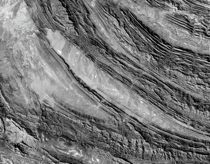
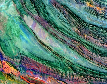
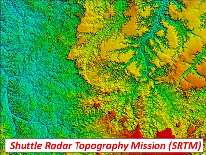
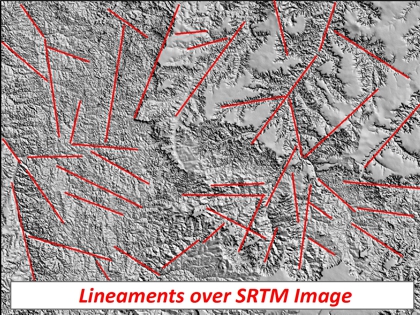
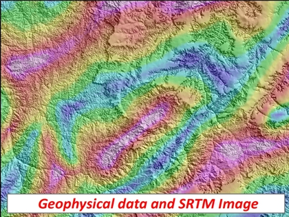
| Applications of onshore remote sensing to hydrocarbon exploration correspond to a well-accepted methodology which allows the structural mapping of large areas that can be associated to potential traps and influence in the petroleum systems interpretation. The spectral characteristics presents in multispectral and hyperspectral images are capable to provide the interpretation of a set of minerals associated to hydrocarbon microseeps. Furthermore, the structural lineaments mapping aims the structures recognition that represent important elements of the tectonic context of a given area and reflect phenomena of sub-surface associated with movements of faulted blocks. In this case the integration with gravity and magnetic data is fundamental to the comprehension of basin evolution. |
|
|
GEOSPATIAL PETROLEUM
Tel: +55 (21) 98899-7939
|
© Copyright 2014
GEOSPATIAL PETROLEUM
|